Humber Summit
History:
Humber Summit began as a pioneer settlement in the 1840’s. This community revolved around the Rowntree grist and saw mills which operated on the banks of the Humber River where Rowntree Mills Park is situated today. Many of Humber Summit’s first settlers are buried in the historic Pine Ridge Methodist Church Cemetery on Islington Avenue.
By the early 1900’s, Humber Summit settlers had turned their attention to farming. Then in the 1940’s, with the city encroaching at its doorstep, Humber Summit was transformed into a popular summer resort known as Riverbank Park.
Riverbank Park was popular with Toronto residents who built cottages overlooking the Humber River. These cottages had been converted to year round use by the time Hurricane Hazel struck in 1954. Hurricane Hazel was the worst hurricane in Toronto’s history and its deadly fury wrecked havoc on the Humber Summit community as ten houses were swept away by the raging river.
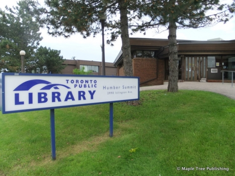
Hurricane Hazel’s toll on this community would have been much worse if not for the heroic deeds of the Humber Summit Fire Brigade. This volunteer bucket brigade consisting of twelve men worked valiantly in the dark to safely rescue all of Humber Summit’s residents. The Humber Summit Fire Brigade closed down in 1966 however a plaque commemorating their service hangs in the Humber Summit Public Library which is located on the site of the former fire hall.
Overview:
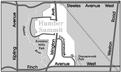
Humber Summit is a small, middle class community located in the north-west pocket of North York. This neighbourhood is bordered to the west by the Humber River and to the east by industry. Humber Summit’s northern boundary is Steeles Avenue which also serves as the border between the City of Toronto and the City of Vaughan.
Humber Summit is a close knit neighbourhood with an established Italian community. In recent years, Humber Summit has welcomed many new families of East Indian and Asian background into the neighbourhood.
Lifestyle:
There is a small pocket of shops and services located on Islington Avenue. This retail district includes Italian bakeries, cafes, pizzerias and food markets.
The closest shopping plaza is Finchdale, which has a large discount store, banks, a bakery, a beer store and an Italian restaurant. There is also a large Italian supermarket brimming with fresh fruits and vegetables.
Homes:
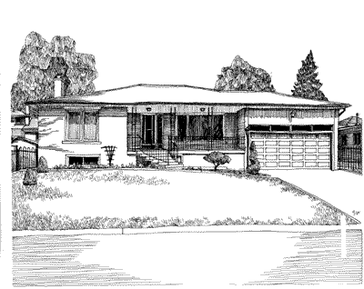
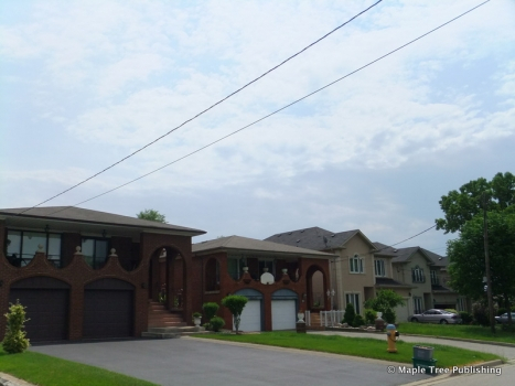
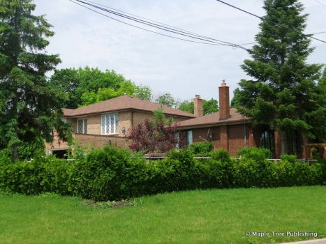
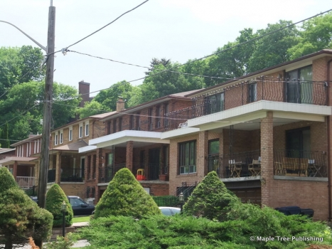
Humber Summit’s winding roads and rolling hills west of Islington Avenue contain a curious mix of old frame cottages from the 1940’s and 1950’s together with newer two-storey custom designed homes. Houses on Riverside Drive and Rowntree Mill Road feature beautiful views of the Humber River Valley.
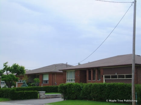
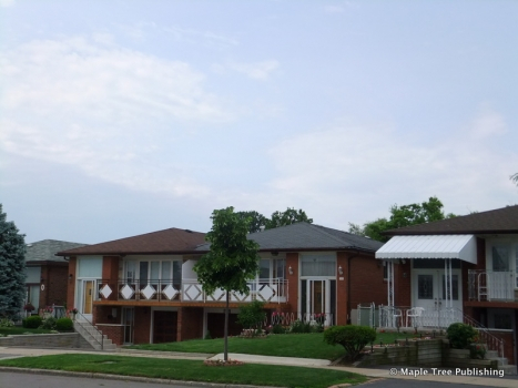
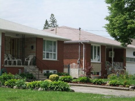
The houses east of Islington Avenue consist of semi-detached backsplits with built-in garages and front porches decorated with cast iron railings. Elaborate front archways also add to the character of these post-war suburban houses which were built largely in the 1960’s.
Recreation:
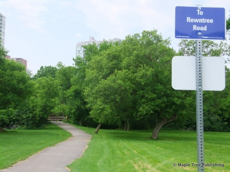
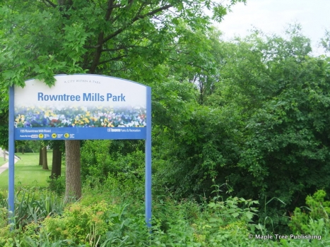
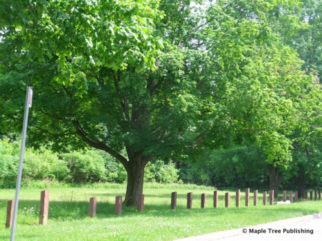
Rowntree Mill Park accessed off Islington Avenue from Rowntree Mill Road, is part of the North Humber watershed and contains many nice picnic spots set amidst open meadows and woodlands. Hiking and nature walks are popular activities in this park.
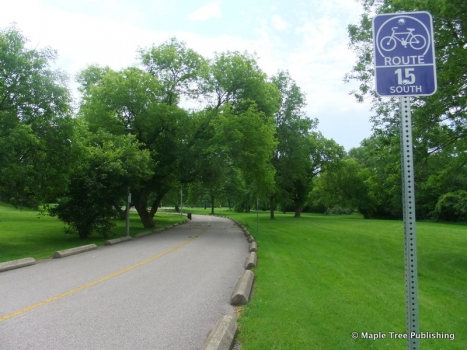
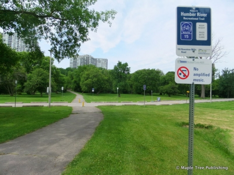
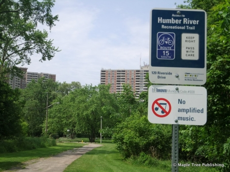
To the east of Islington Avenue and south of Finch Avenue are access points to the West Humber Parkland trail. This 5.5 kilometre paved trail follows the Humber Valley to the Humber Arboretum. The Humber Arboretum is operated by the city of Toronto and features a wide variety of plants and wildlife with demonstration gardens, self guided trails and a visitor interpretation centre.
Golf enthusiasts are just minutes from the Humber Valley public golf course off Beattie Avenue at Albion Road. This par 70 course challenges golfers with its combination of links and valleyland holes.
Transportation:
Humber Summit is well served by public transit. The Islington Avenue bus connects passengers to the Islington Go Train and Bloor-Danforth subway stations on Bloor Street. The Finch Avenue bus connects to the Finch station on the Yonge-University-Spadina subway line.
Motorists are approximately ten minutes from Highways 400 and 401 which can be accessed off Islington Avenue.
Humber Summit Stats
Walkability:
Low
Bikeability:
Low
Public Transit:
Medium
Affordability:
Medium
Greenspace:
Low
Recreation:
High
Legend: Low, Medium, High
Commute Times
* All commuting times provided are approximate times only. Commute times may increase or decrease depending on where you live within the neighbourhood and the time of day i.e rush hour versus off hour commutes. Time estimates to public transit are based on walking distance or bus line connection whichever is quicker. All other commute times on the chart above are based on drive times.
School Guide
No Records Found
Sorry, no records were found. Please adjust your search criteria and try again.
Google Map Not Loaded
Sorry, unable to load Google Maps API.
Toronto School Resources

Editor’s Note. BEFORE MOVING INTO, BUYING OR RENTING A HOME, PLEASE CONTACT THE SCHOOL YOU ARE CONSIDERING BY PHONE to ensure your home is within the designated boundaries and that your child is age appropriate. WE CANNOT BE HELD RESPONSIBLE FOR ANY MISINFORMATION REGARDING SCHOOL ENROLLMENT SO DO NOT ASSUME that your child can automatically attend a specific school or specialized program until you have official confirmation from that school. Please visit the school board web sites for more information.
