Smithfield
History:
Smithfield is named after Robert Smith who was a major landowner in this area dating back to the 1830’s. It was Smith who donated the land for the first community church at the corner of Albion and Martin Grove Roads. Smithfield Church is described in the Story of Etobicoke written by Robert Given, as a “simple log structure … When it was torn down the logs were taken to Rowntree’s saw-mill on the Humber for lumber which was used in the building of a church in Thisletown in 1873.”
From 1874 onwards this pioneer community revolved around the Smithfield school that was situated on Albion Road, west of Martin Grove. This two room schoolhouse was designated as School Section #7 by the former Township of Etobicoke. The original Smithfield school was closed in 1954, however, when the present day neighbourhood was developed in the 1960’s, a new Smithfield school was opened on Mount Olive Drive. The School Section #7 plaque from the original Smithfield school is mounted in the foyer wall of the present-day Smithfield school.
Overview:
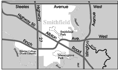
Smithfield is located at the far north-west boundary of the City of Toronto. It is bordered on the south, east and west by the Humber River Valley. Neighbourhood landmarks include Etobicoke General Hospital and Humber College (North Campus).
Smithfield is home to many new residents of Canada and includes one of the largest concentrations of subsidized housing in Toronto. This neighbourhood has recently received a tremendous boost with the ten million dollar North Kipling Junior-Middle School and Community Centre Project situated at 2 Rowntree Road.
Lifestyle:
Shoppers World Albion, located at the intersection of Albion Road and Kipling Avenue, is a large indoor mall anchored by a department store and a supermarket. This mall contains a mix of franchise stores and independent retailers. Smaller shopping plazas can be found scattered throughout the Smithfield neighbourhood.
The retail corridor along Highway 27 north of Finch Avenue includes a large garden centre, a car dealership, big box stores, a discount mall, a bingo hall and the Albion Flea Market which includes over 400 vendors.
Homes:
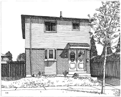
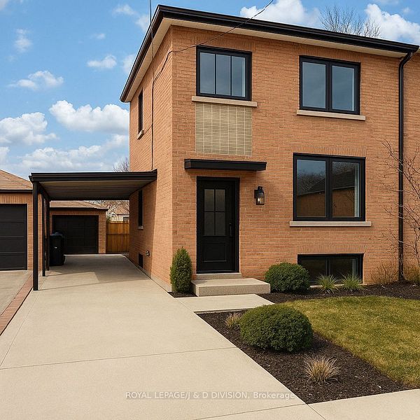
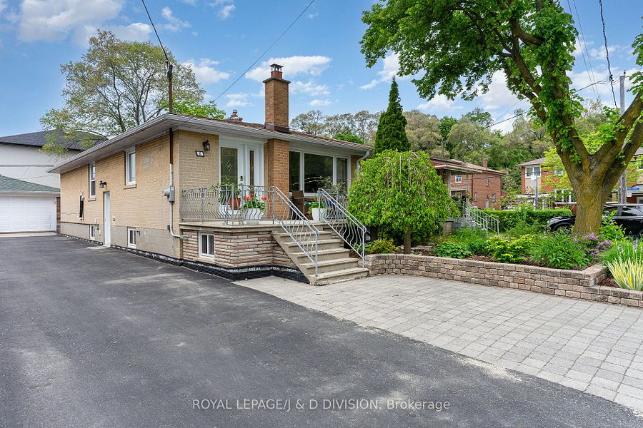
Smithfield’s housing stock was built up during the 1960’s, 70’s, and 80’s and includes a handful of recent new home developments located along Finch Avenue, west of Highway 27. Smithfield houses feature concrete and clay brick exteriors or frame siding and are situated on decent size lots with private drives. The style of houses found here includes split-level houses, bungalows and detached, two-storey houses.
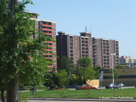
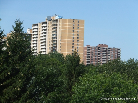
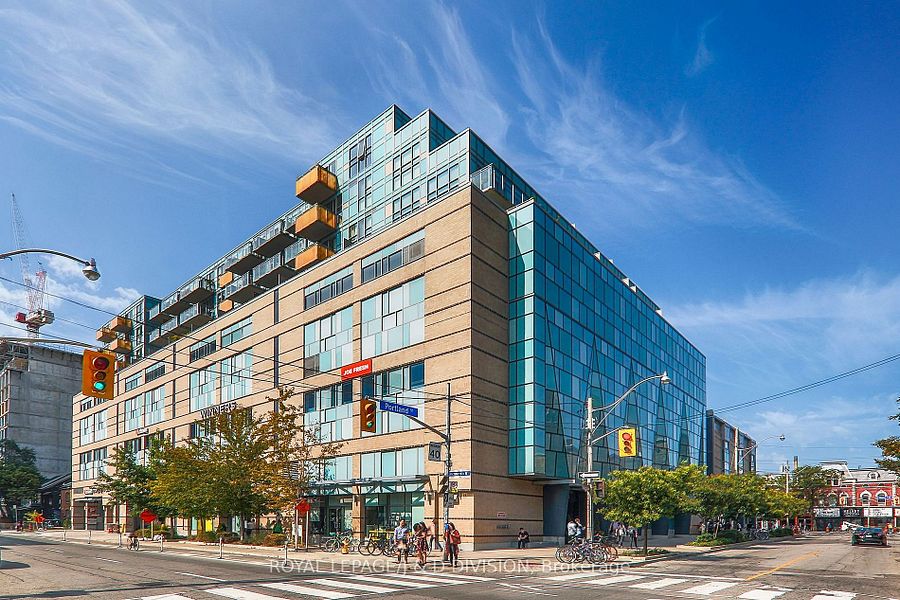
Smithfield also contains a large number of private and subsidized townhouse complexes and high-rise apartment buildings. There are a handful of high-rise condominium buildings on Kipling Avenue, at Rowntree Road.
Recreation:
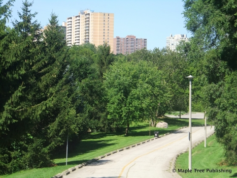
Smithfield residents can exercise or take a leisurely stroll in the West Humber Parkland trail that skirts this neighbourhood. This nine-kilometre, paved trail extends from Albion Road through the valley to Finch Avenue west of the Humber Arboretum. Entrances and parking to this trail are located west off Albion Road or off Westhumber Boulevard between Martin Grove Road and Kipling Avenue. It’s worth a visit to the Humber Arboretum – a large botanical garden highlighted by extensive ornamental gardens, a hillside of roses and over 100 hundred species of flowering Rhododendrons and Azaleas.
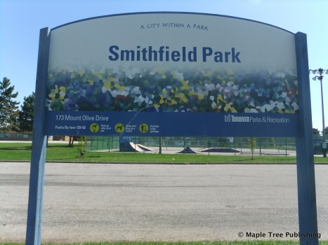
Smithfield residents of all ages can enjoy a variety of recreational activities at the Smithfield Community School, located at 175 Mount Olive Drive, the Albion Pool and Health Club, located at 1485 Albion Road, and the Humberwood Community Centre, located at 850 Humberwood Boulevard.
Transportation:
There is bus service along the major streets and many of the secondary streets in the Smithfield neighbourhood. These bus lines connect passengers to either the Yonge-University-Spadina subway line or the Bloor-Danforth subway line.
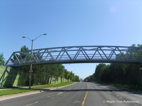
Highway 27 runs through the centre of this neighbourhood and is easily accessed as is Highway 401 with on-ramps at Kipling Avenue. Both of these highways connect motorists to Toronto’s network of commuter highways.
Featured Listings
Toronto
King West – Wellington Place
Smithfield Stats
Walkability:
Low
Bikeability:
Low
Public Transit:
Low
Affordability:
Medium
Greenspace:
Medium
Recreation:
Medium
Legend: Low, Medium, High
Commute Times
* All commuting times provided are approximate times only. Commute times may increase or decrease depending on where you live within the neighbourhood and the time of day i.e rush hour versus off hour commutes. Time estimates to public transit are based on walking distance or bus line connection whichever is quicker. All other commute times on the chart above are based on drive times.
School Guide
No Records Found
Sorry, no records were found. Please adjust your search criteria and try again.
Google Map Not Loaded
Sorry, unable to load Google Maps API.
Toronto School Resources

Editor’s Note. BEFORE MOVING INTO, BUYING OR RENTING A HOME, PLEASE CONTACT THE SCHOOL YOU ARE CONSIDERING BY PHONE to ensure your home is within the designated boundaries and that your child is age appropriate. WE CANNOT BE HELD RESPONSIBLE FOR ANY MISINFORMATION REGARDING SCHOOL ENROLLMENT SO DO NOT ASSUME that your child can automatically attend a specific school or specialized program until you have official confirmation from that school. Please visit the school board web sites for more information.
