Sharon
History:
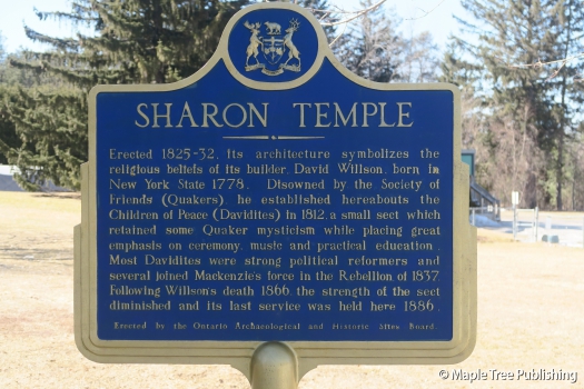
In 1801 a prominent Quaker by the name of David Willson led a group of families on a journey from Pennsylvania to Ontario. Their ultimate destination was East Gwillimbury where they were offered large parcels of farmland in exchange for helping to build roads and establish homesteads. Appropriately they named their community Hope. The Willson led Quakers established their own sect called The Children of Peace. This was a community based on the values of ethics, equality and social justice. The Children of Peace established Ontario’s first farming co-operative and credit union and grew prosperous in the process. They were also forerunners in Ontario, seeking social justice through political reform and providing shelter for those in need.
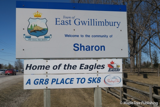
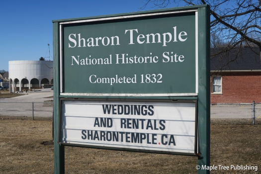
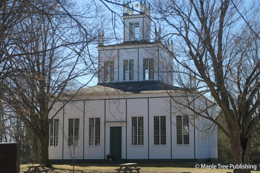
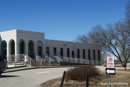
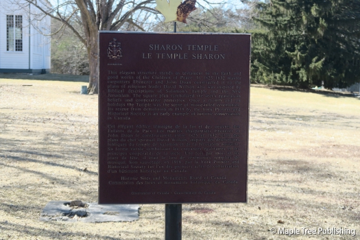
When a post office opened in 1841 the community changed its name from Hope to Sharon. The Sharon name was an appropriate choice for this prosperous farming community as it has a biblical reference to a fertile plain in Israel. The focal point of the community was the Sharon Temple constructed in 1931. The Sharon Temple featured the first organ in Ontario. In 1918 Sharon Temple became a museum. It was subsequently designated as a National Historic Site in 1990. Today, the Sharon Temple stands proudly adjacent to the Town of East Gwillimbury Civic Centre. It is a reminder of the families who first settled here and their many accomplishments that helped pave the way for future generations.
Overview:
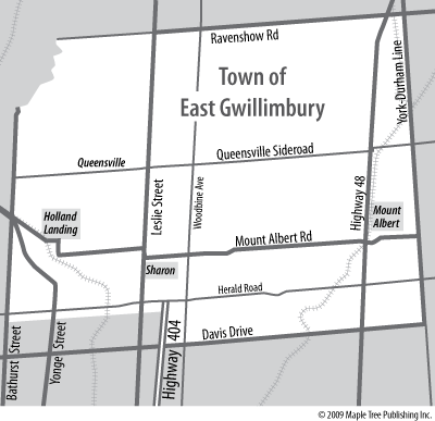
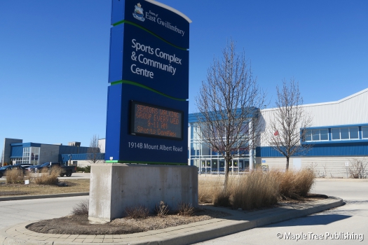
The historic village of Sharon is located just west of Highway 404 and north of York Regional Road 19. Immediately to the south is farmland is the Town of Newmarket. To the west is the Rogers Reservoir Conservation Area and the Holland River watershed. Leslie Street is the main street that runs through town. It is steeped in history and lined with heritage buildings and places of worship including Sharon Temple a National Historic Site. Driving north on Leslie Street you will pass by Sharon Public School, new home subdivisions, an old farm, heritage homes, and small shopping plazas. Sharon is also the home of the East Gwillimbury municipal offices and civic square.
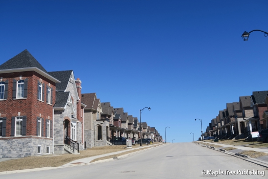
Sharon is currently experiencing unprecedented growth with many new homes recently built and many more currently under construction. The current population of approximately 3,000 residents is expected to grow to 10,000 residents in the next decade. Most of this growth will come from families looking for affordable homes and a family friendly community to raise their children. With plenty of nature on its doorstep Sharon is an ideal community for those wishing to escape the hustle and bustle of city life.
Lifestyle:
Vince’s Market is a popular grocery store situated in a small plaza off Leslie Street at Mount Albert Road.
The Stardust Drive in Theatre located at 893 Mount Albert Road is a classic drive-in showing movies under the stars with new releases on 3 screens and a concession stand for hungry movie goers.
Homes:
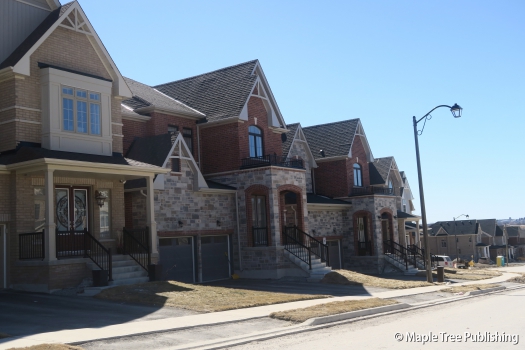
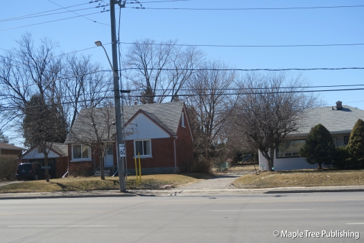
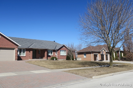
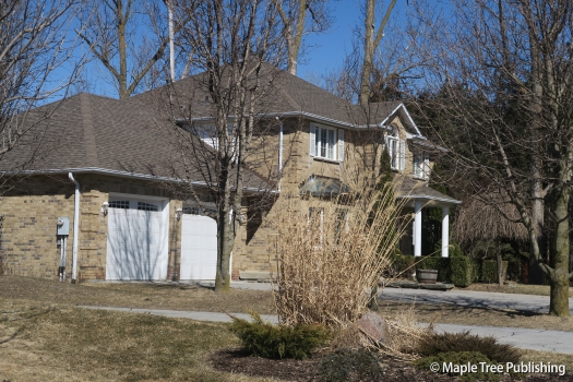
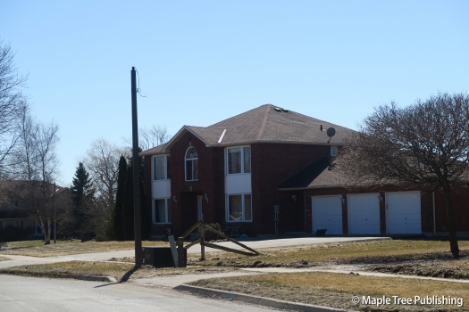
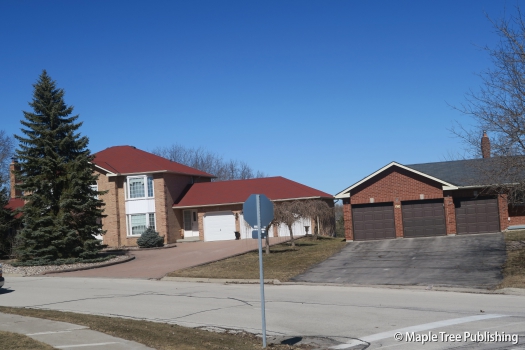
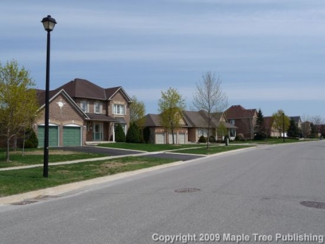
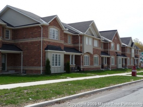
The original Sharon housing stock form the 1960s, 70s and 80s, features modest bungalows, ranch style homes and detached two-storey colonial revival houses. The new home subdivisions from the 1990s and early 2000s feature predominantly Estate homes on premium lots. At the present time Sharon is experiencing tremendous growth with many new homes recently built or under construction. This mix includes detached homes as well as townhomes. Exteriors feature brick and stone with prominent entranceways, roof gables and built-in garages.
Recreation:
Sharon Hills Park Trail at Colonel Wayling Blvd and Maplehyrrn Avenue is a paved trail that loops around Jason’s Pond. This trail abutts a park that has a children’s playground, soccer field, basketball court and tennis courts.
The Shawneeki Golf Club located at 18543 Woodbine Avenue offers both memberships and public play. This is an 18 hole course. There is also a driving range at this club.
Sharon Stats
Walkability:
Medium
Bikeability:
Medium
Public Transit:
Medium
Affordability:
Medium
Greenspace:
Medium
Recreation:
High
Legend: Low, Medium, High
Commute Times
* All commuting times provided are approximate times only. Commute times may increase or decrease depending on where you live within the neighbourhood and the time of day i.e rush hour versus off hour commutes. Time estimates to public transit are based on walking distance or bus line connection whichever is quicker. All other commute times on the chart above are based on drive times.
