Centennial Park
History:
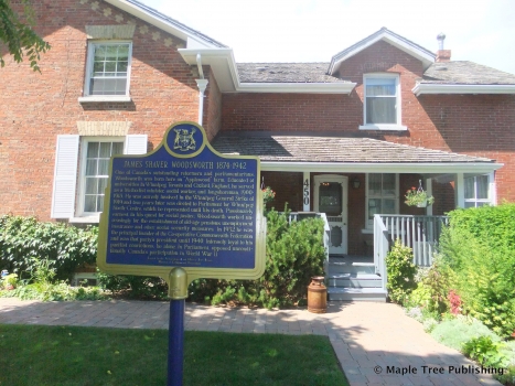
The Centennial Park neighbourhood was one of the last areas where working farms operated within Toronto. In fact, it wasn’t until 1968 when the Hirons farm was sold to developers that this area was completely urbanized.
Author Ester Heyes, in her book Etobicoke – from furrow to borough, remembers the Hirons farm. ” Harold Hirons and his father before him had owned the 88 1/2 acre property fronting on Elmcrest Road at Rathburn Road from the days of the Furrow to a time well beyond the establishment of a Borough”. When all around him the land had been turned into modern residential communities Harold Hirons continued to carry on a highly successful dairy farm, shipping milk to Toronto daily.
Heyes then quotes Mrs. Hirons as saying that “we felt sorry for our new neighbours who could not go out and gather their own strawberries, and the fruit from their own orchards, fresh picked vegetables from their kitchen gardens and eggs warm from the nest”. Certainly this was the end of a simpler way of life.
In 1967, the former Borough of Etobicoke created Centennial Park as a centennial project to celebrate Canada’s one hundredth birthday. It is this landmark park after which this neighbourhood is named.
Overview:
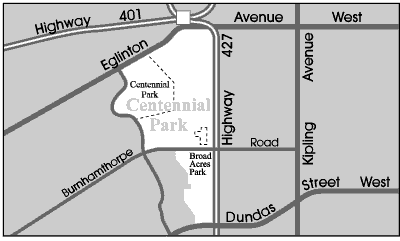
The Centennial Park neighbourhood is located at the western edge of the City of Toronto. It is bordered on the east by Highway 427, to the north by Pearson International Airport and to the west by Centennial Park and the Etobicoke River Valley.
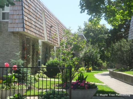
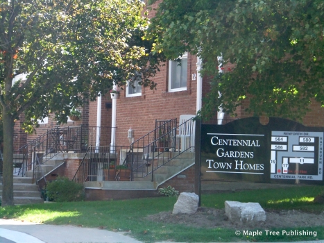
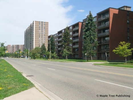
This neighbourhood is home to people from a wide range of cultural backgrounds and levels of income. It has many fine attributes including an abundance of parkland, a diverse housing stock, a local library, an excellent selection of public and separate schools and convenient access to shopping and transportation.
Lifestyle:
Eringate Mall features a large supermarket, a bank, and some smaller retailers. The Renforth Mall located at Rathburn and Renforth, is highlighted by a large food market and also contains an assortment of smaller retail stores.
Homes:
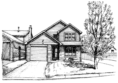
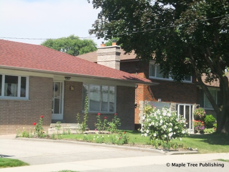
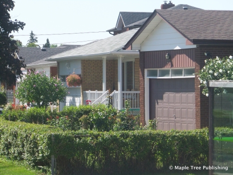
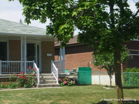
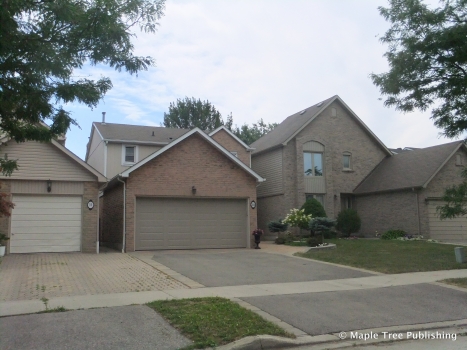
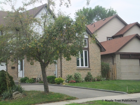
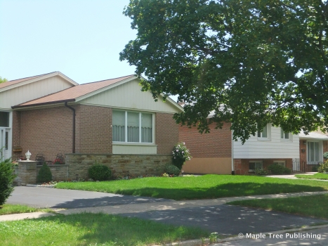
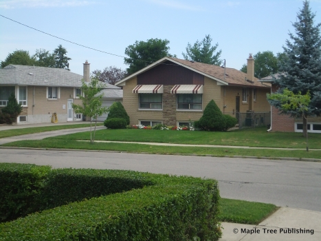
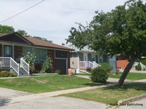
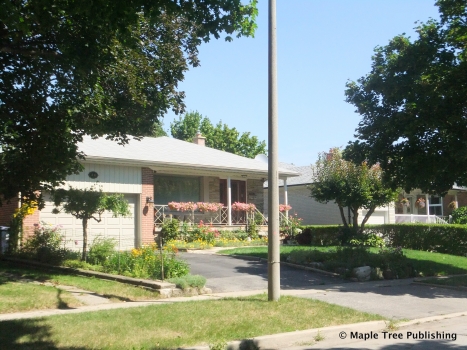
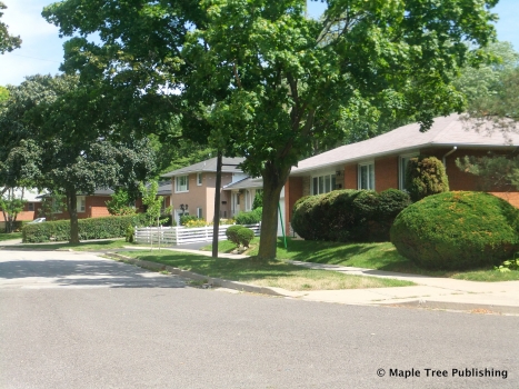
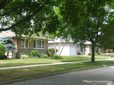
The majority of houses in this neighbourhood were built during the 1960’s. These homes include ranch-style and contemporary-style bungalows on suburban size lots with private driveways and a garage or a carport.
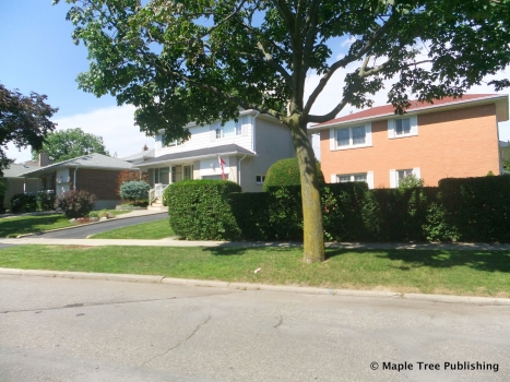
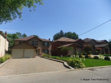
Centennial Park also contains a subdivision of larger detached and semi-detached houses in the area around Elmbrook Park. Many of these houses feature Tudor Revival designs with steeply pitched roofs and Tudor accents.
Recreation:
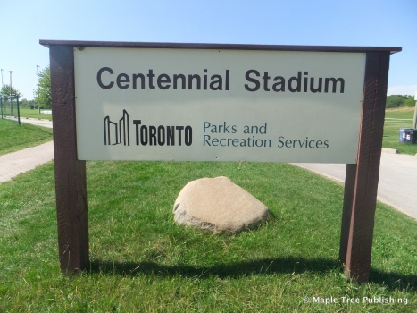
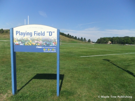
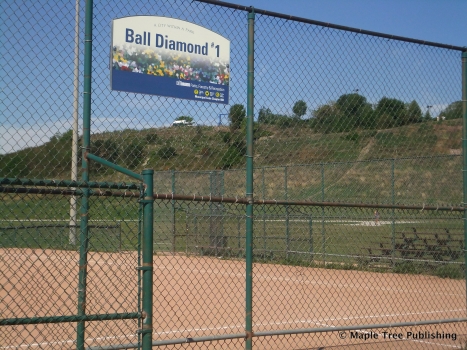
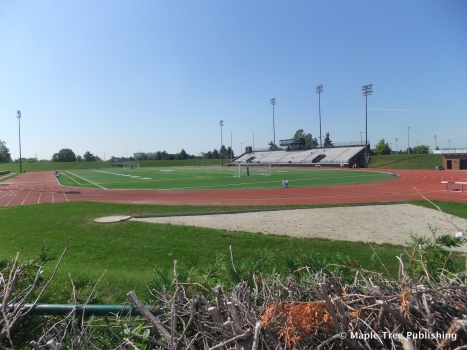
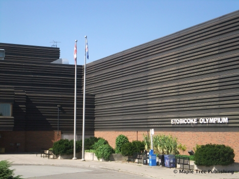
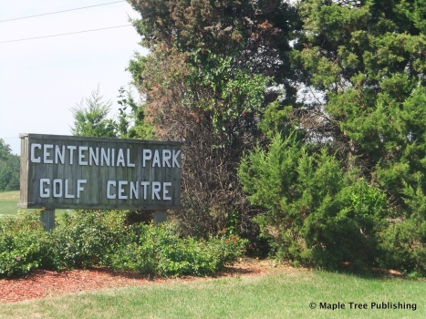
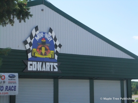
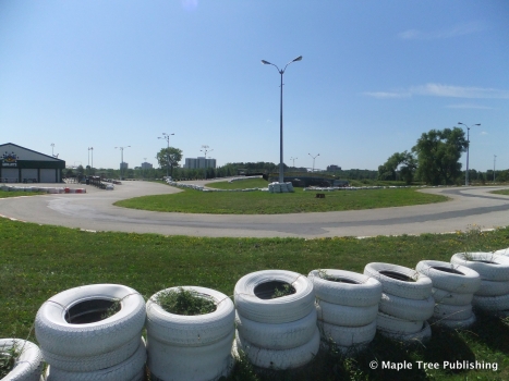
Centennial Park is a regional park that includes 525 acres of recreational facilities. This enormous park has indoor hockey arenas, ski hills, a public golf course, a Mini-Indy track, tennis courts, a 2200 seat stadium, playing fields, a pond with paddleboats, picnic sites and a greenhouse. Centennial Park is also the home of the Etobicoke Olympium, a multi-purpose recreational facility that is known for its aquatics, rhythmic gymnastics and aerobics programs. The Etobicoke Olympium also features its own fitness club and pro shop.
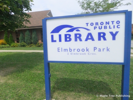
Local parks in this community include Elmbrook Park which has a large children’s playground and is also the home of the Elmbrook Public Library. Wellsworth Park and Broadacres Park each contain children’s playgrounds and a baseball diamond. Eringate Park has baseball diamonds, a children’s playground and an outdoor pool.
Transportation:
Bus Service along Eglinton Avenue, The West Mall, and Rathburn and Burnhamthorpe Roads provide passengers with connecting routes to Go Transit and TTC stations.
Motorists enjoy convenient access to Highway 427 from the Eglinton, Rathburn, and Burnhamthorpe on-ramps. This highway provides connecting routes to Toronto’s network of commuter highways. The Pearson International Airport on-ramps are also located off of Highway 427, just a few minutes from this neighbourhood.
Centennial Park Stats
Walkability:
Medium
Bikeability:
Low
Public Transit:
Medium
Affordability:
Medium
Greenspace:
High
Recreation:
High
Legend: Low, Medium, High
Commute Times
* All commuting times provided are approximate times only. Commute times may increase or decrease depending on where you live within the neighbourhood and the time of day i.e rush hour versus off hour commutes. Time estimates to public transit are based on walking distance or bus line connection whichever is quicker. All other commute times on the chart above are based on drive times.
School Guide
No Records Found
Sorry, no records were found. Please adjust your search criteria and try again.
Google Map Not Loaded
Sorry, unable to load Google Maps API.
Toronto School Resources

Editor’s Note. BEFORE MOVING INTO, BUYING OR RENTING A HOME, PLEASE CONTACT THE SCHOOL YOU ARE CONSIDERING BY PHONE to ensure your home is within the designated boundaries and that your child is age appropriate. WE CANNOT BE HELD RESPONSIBLE FOR ANY MISINFORMATION REGARDING SCHOOL ENROLLMENT SO DO NOT ASSUME that your child can automatically attend a specific school or specialized program until you have official confirmation from that school. Please visit the school board web sites for more information.
