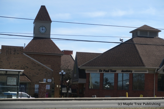
Erin Mills
History:
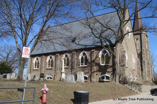
In the 1950s E.P. Taylor the wealthy Canadian entrepreneur saw this pastoral landscape and deemed it perfect for a future housing development so he began assembling and acquiring land in this area. By 1969 the assembly was complete and Taylor under the name of his subsidiary company Don Mills Development Corp announced he was going to build a ‘New Town” called Erin Mills, presumably named after the quaint village of Erindale which was located nearby on the opposite side of the Credit River Valley.
Erin Mills was built in four phases.Erin Mills South was built in the 1970s, followed by Erin Mills West in the mid 1980s, then came Erin Mills Central completed in 1989 and finally Churchill Meadows between 2000 and 2010. You will note Churchill Meadows is identified as its own neighbourhood within the context of this study however in the past it has been referred to as being part of the greater Erin Mills neighbourhood.
Overview:
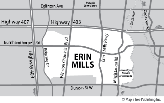
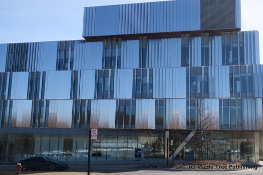
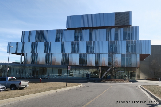
Erin Mills has a beautiful topography thanks to its location situated along the Credit River Valley. This neighbourhood is very hilly with winding streets that are lined with large stands of mature trees. The main landmark in the neighbourhood is the University of Toronto’s Mississauga Campus located off Mississauga Road. This campus encompasses 225 acres within a protected greenbelt along the Credit River.
The boundaries of this neighbourhood are Highway 407 to the west, the Credit River to the east, Britannia Road to the north, and Dundas Street to the south. Erin Mills is sometimes referred to as Central Erin Mills north of Highway 403 and simply Erin Mills south of the 403. And these are not to be confused with Churchill Meadows another neighbourhood sometimes lumped into Erin Mills or Erindale which is located on the east side of the Credit River valley. All of these neighbourhoods are located in the central-west section of Mississauga and share many common amenities.
Lifestyle:
Erin Mills Town Centre is a community hub and a top Mississauga destination. There are always a number of sales and special events going on at this indoor shopping mall. There are over 185 shops and restaurants including anchor tenant Wal-Mart. Another shopping destination is South Common Centre located at 2150 Burnhamthorpe Rd. West, Retailers include: Wal-Mart, Good Life Fitness, Shoppers Drug Mart, Bank of Montreal, TD Canada Trust, Rogers Wireless, EB Games and more.
Homes:
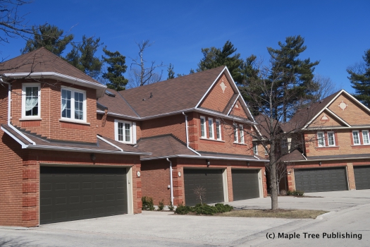
Virtually every type of home can be found in Erin Mills. There are ranch style bungalows and custom new homes in pockets around the Credit River Valley, as well as subdivisions consisting of townhomes, semi-detached and detached homes. The bulk of these would have been built between 1970 and 2010. There are also apartment building and condominium buildings along the main arterial streets of the neighbourhood.
Recreation:
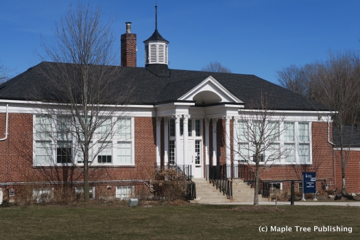
Erin Meadows Community Centre and Library located at 2800 Erin Centre Blvd,is a shared use facility in a state-of-the-art building. This community hub is a partnership between the City of Mississauga, the Mississauga Library Board and the Dufferin-Peel Catholic District School Board. This centre offers: swimming, fitness, sports leagues and community rental spaces.
South Common Community Centre located at 2233 South Millay has an indoor pool, fitness, sports leagues, library, community rooms and outdoor skating rinks.
Arts:
Visual Arts Mississauga located at 4170 Riverwood Park Lane offers myriad of art programs, classes and classes for adults and children. They also host a variety of art events and sales.
Erin Mills Stats
Walkability:
Low
Bikeability:
High
Public Transit:
Medium
Affordability:
Medium
Greenspace:
High
Recreation:
High
Legend: Low, Medium, High
Commute Times
* All commuting times provided are approximate times only. Commute times may increase or decrease depending on where you live within the neighbourhood and the time of day i.e rush hour versus off hour commutes. Time estimates to public transit are based on walking distance or bus line connection whichever is quicker. All other commute times on the chart above are based on drive times.
