Countryside Villages
History:
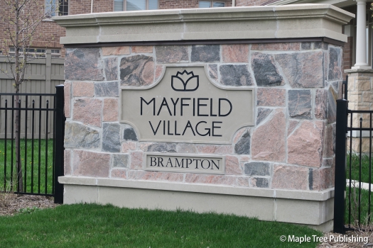
Countryside Villages was a former rural hamlet known as Mayfield Village, that was located at the intersection of the 3rd Line of Bramalea Road and Mayfield Road. Mayfield was typical of rural hamlets from the 1800s in that it contained a schoolhouse, general store, post office, blacksmith shop and a hotel that would accommodate weary travellers.
Overview:
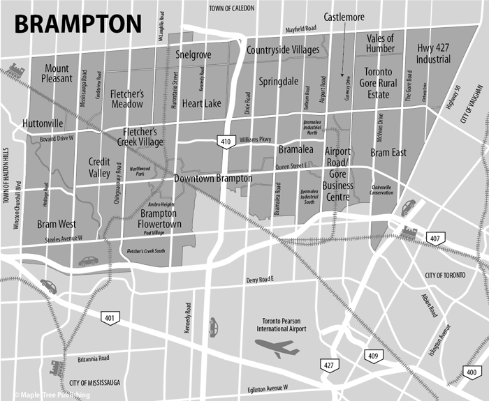
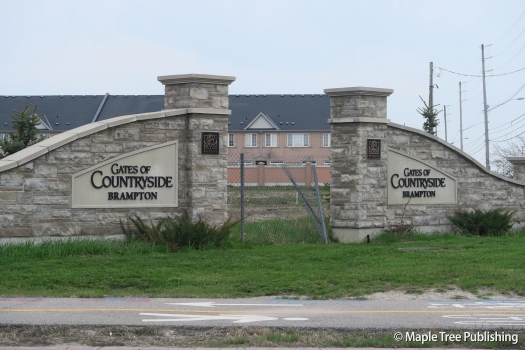
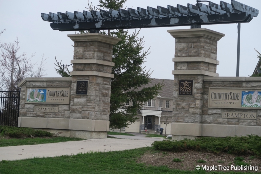
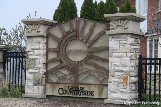
Countryside Villages is not as its name might imply a collection of villages but rather a collection of new home subdivisions with names such as Countryside Meadows, Gates of Countryside and Mayfield Village. The housing stock is all relatively new and geared towards families with parks and a neighbourhood school. Sesquicentennial Park located at 11333 Bramalea Road is a Brampton landmark featuring a central pavilion that is ringed by eight baseball diamonds. Highway 410 forms the west boundary of this neighbourhood providing easy access for commuters. The Town of Caledon is located just beyond the north boundary of this neighbourhood off Mayfield Road.
Homes:
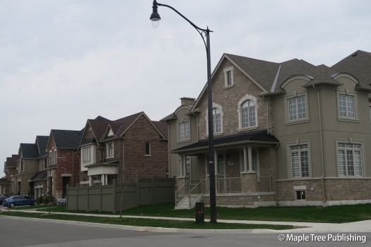
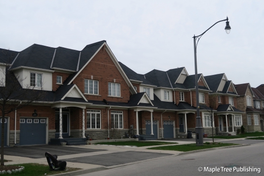
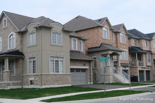
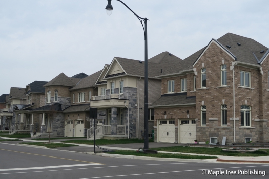
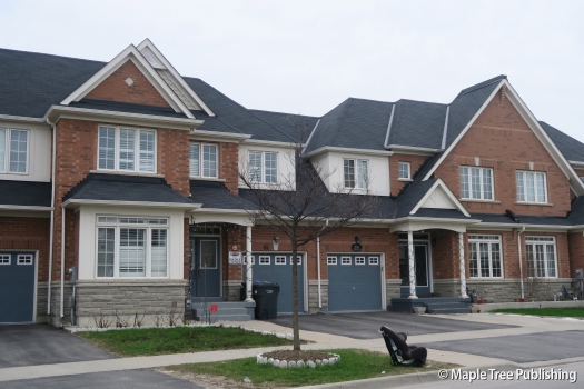
Countryside Villages features newer homes with brick and or stone exteriors. There is a mix of both detached houses and townhomes with traditional architecture including gabled roofs, columned front porches and built-in garages.
Arts:
Rose Theatre located in downtown Brampton at 1 Theatre Lane is a popular performing arts venue with a busy year-round events calendar. The Garden Square adjacent to the theatre hosts: a local concert series, as well as movie nights, and a popular farmers’ market Some of the annual signature events held at Garden Square include National Indigenous Peoples Day, Pride in the Square, and a New Year’s Eve Concert.
Countryside Villages Stats
Walkability:
Low
Bikeability:
Medium
Public Transit:
Medium
Greenspace:
High
Medium
Legend: Low, Medium, High
Commute Times
* All commuting times provided are approximate times only. Commute times may increase or decrease depending on where you live within the neighbourhood and the time of day i.e rush hour versus off hour commutes. Time estimates to public transit are based on walking distance or bus line connection whichever is quicker. All other commute times on the chart above are based on drive times.
