Brampton Flowertown
History:
The Brampton Flowertown name and story begins in 1863. That is when Edward Dale opened a nursery in Brampton. The Dale Estate nursery flourished and became Brampton largest employer for almost a century. It also spawned many other smaller nurseries, earning Brampton the name “The Flower Town of Canada”. At its peak Brampton greenhouses were the largest producers of fresh cut flowers in the world and the Dale Estate nursery in particular was world renowned for their variety of roses and orchids. In 1980 after more than 100 years the illustrious Dale Estate nursery ceased operations. By this time the neighbourhood was already well into transition from greenhouses to residential houses.
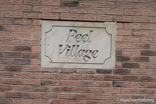
The first residential development within this neighbourhood was Peel Village which was launched in 1961. Peel Village was the first master planned community to include residential, commercial and industrial uses all in the same neighbourhood. Designed to be a place where families could live, work and play, Peel Village was a success right from the start. Ambro Heights is another subdivision development within Flowertown. This collection of homes was developed by Armstrong Brothers in the late 1960s.
Overview:
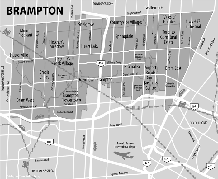
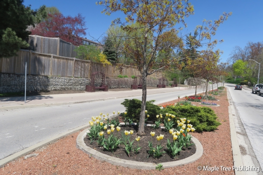
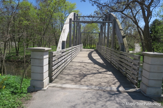
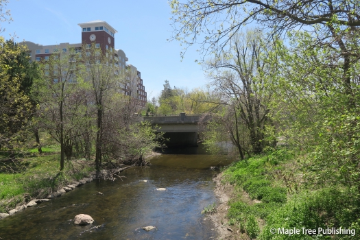
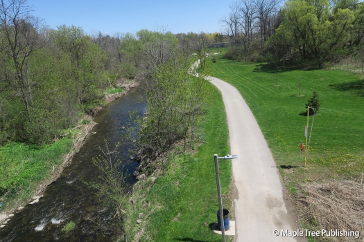
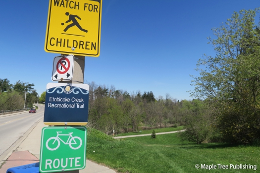
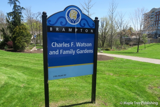
Brampton Flowertown is a collection of communities including: Ambro Heights, Peel Village, and Northwood Park. This neighbourhood rings the downtown Brampton historic district. This is a family oriented neighbourhood that displays a pride of ownership on every street with well maintained houses and neatly manicured lawns. There is an abundance of greenspace for residents to enjoy along the Etobicoke Creek Trail which meanders through the centre of this neighbourhood. Shoppers World Brampton is prominently situated in the centre of the neighbourhood off Main Street.
Lifestyle:
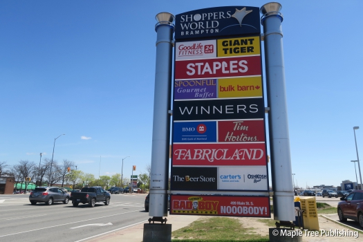
Shoppers World Brampton located at 499 Main Street South has over 190 shops, services and restaurants. Anchor tenants include Canadian Tire, Staples and Winners.
Homes:
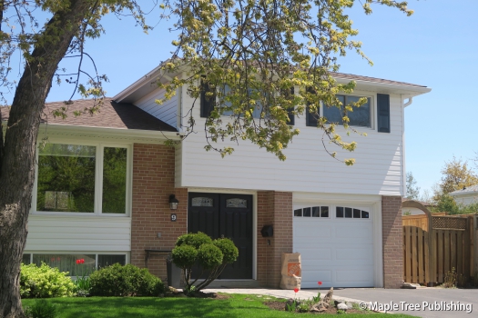
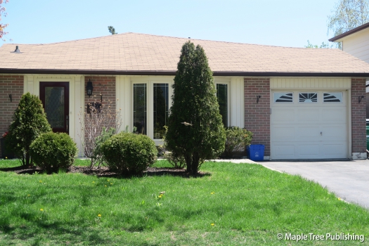
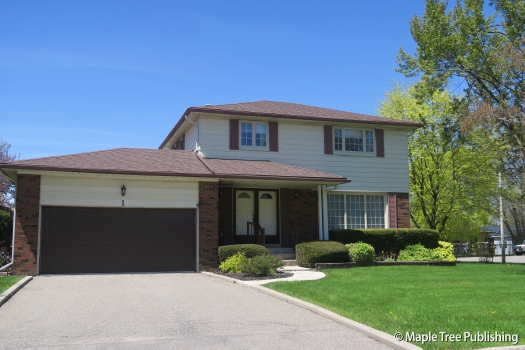
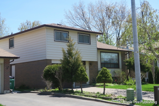
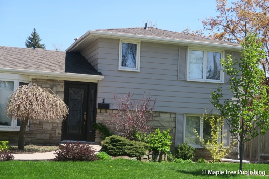
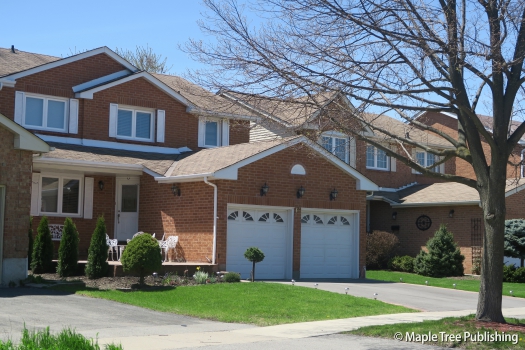
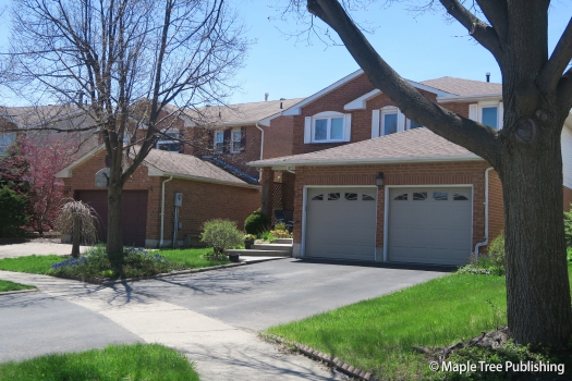
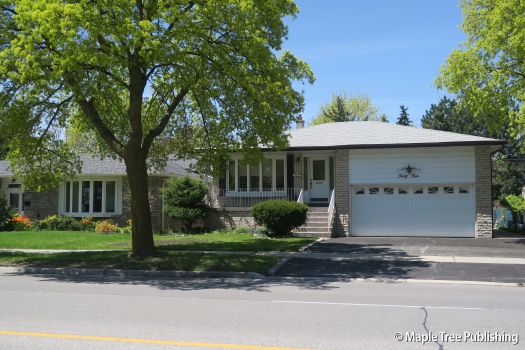
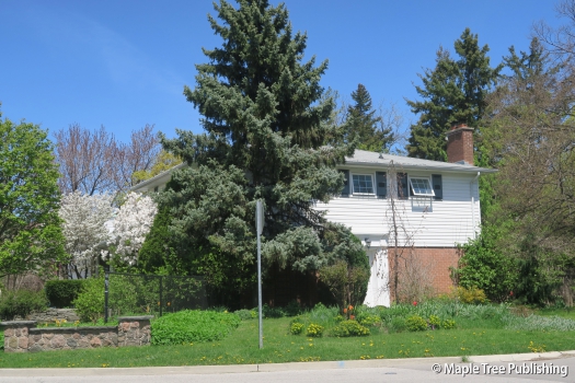
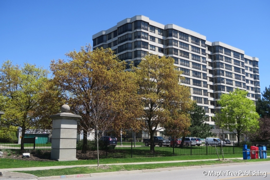
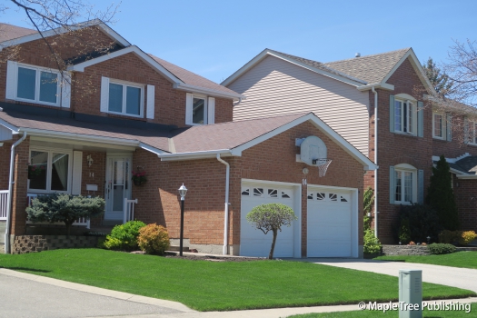
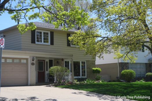
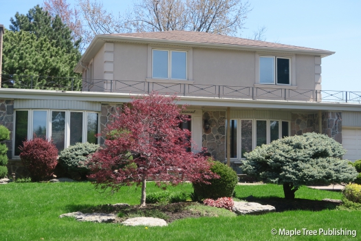
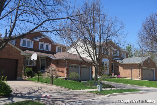
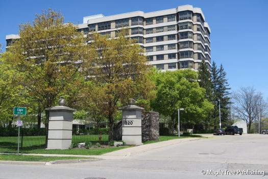
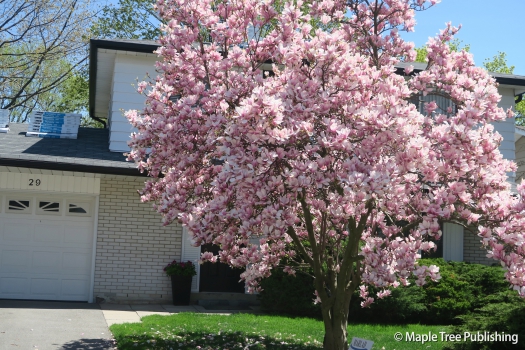
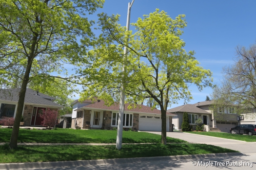
Brampton Flowertown has a wide selection of house styles and designs including Neo-Colonial, sidesplits, backsplits, ranch-style bungalows, Colonial Revival houses, townhomes and apartment buildings. Most of these homes were built in the 1960s and 70s. There is a pride of ownership throughout the neighbourhood as all the houses appear well maintained with nice gardens and manicured lawns. The lots are generous in size and the streetscapes are winding with lots of quiet crescents and cul-de-sacs.
Recreation:
Peel Village Golf Course located at the south end of this neighbourhood is situated on 67 acres of land in the Etobicoke Creek Valley. This public golf course is owned and operated by the City of Brampton. This is a challenging 9 hole course with water features and stunning views. This facility also operates golf leagues and socials , hosts tournaments and offers golf lessons.
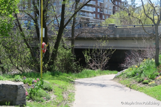
The Etobicoke Creek Trail winds its way through the centre of this neighbourhood following the meandering route of the Etobicoke Creek which flows south into Lake Ontario. This paved trail is ideal for walking, jogging, and cycling. There are many places along the trail where you can stop and have a picnic or just enjoy the tranquility of this beautiful greenspace.
Arts:
Visual Arts Brampton located at 1 Bartley Bull Parkway features 2000 sq. ft. of studio space, where local artists can work in a unique setting designed to inspire and encourage artists to build their portfolios with new and exciting art. At the entrance to this centre is an intimate reception and gallery where members’ latest works of art on our display. Visual Arts Brampton has multiple studios that host a myriad of art sessions providing plenty of opportunity for local artists to acquire new skills and hone their artistic talent.
Brampton Flowertown Stats
Walkability:
High
Bikeability:
High
Public Transit:
Medium
Affordability:
Medium
Greenspace:
High
Recreation:
High
Legend: Low, Medium, High
Commute Times
* All commuting times provided are approximate times only. Commute times may increase or decrease depending on where you live within the neighbourhood and the time of day i.e rush hour versus off hour commutes. Time estimates to public transit are based on walking distance or bus line connection whichever is quicker. All other commute times on the chart above are based on drive times.
