Pringle Creek
History:
The area now known as Pringle Creek was first settled by its namesake John Pringle who emigrated to Whitby in 1836. The creek that ran through the Pringle homestead became known as Pringle Creek. Over the years descendants of John Pringle have contributed greatly to the growth of Whitby and have held important positions in the Town. One of these family members was Herbert Pringle who became Whitby’s Town engineer in 1925. Later as Superintendent of Whitby’s public utilities he was instrumental in overseeing the building of Whitby’s hydro and waterworks infrastructure. Herbert Pringle’s service to the Town of Whitby spanned a remarkable forty years.
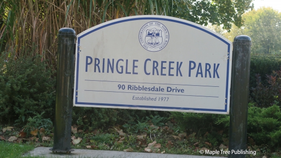
The present day neighbourhood was formed in the late 1970s by Paramount Developments who also took an active role in the creation of Pringle Creek Park. Pringle Creek Public School opened in 1987 to serve the growing number of families in the neighbourhood.
Overview:
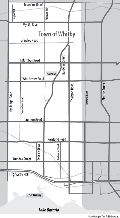
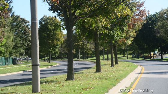
Pringle Creek is conveniently located in the middle of Whitby which accounts for the fact that this is the home neighbourhood for Whitby City Hall and Whitby Civic Recreation Complex as well as Durham Region Administrative buildings which are all clustered together along Rossland Road. Pringle Creek Park and School are the focal points of this family friendly neighbourhood. The Pringle Creek after which this neighbourhood is named; meanders through the centre of the neighbourhood and helps to define this neighbourhoods hilly topography. The railway line borders Pringle Creek to the south.
Homes:
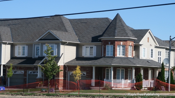
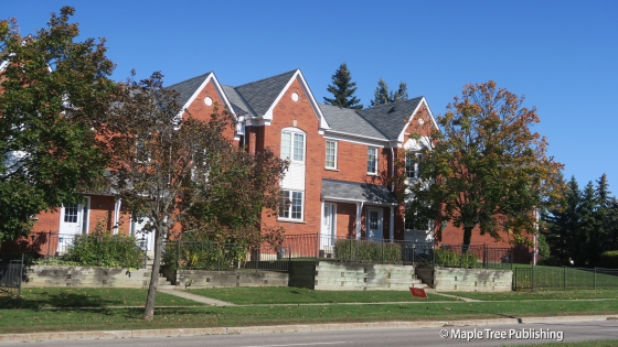
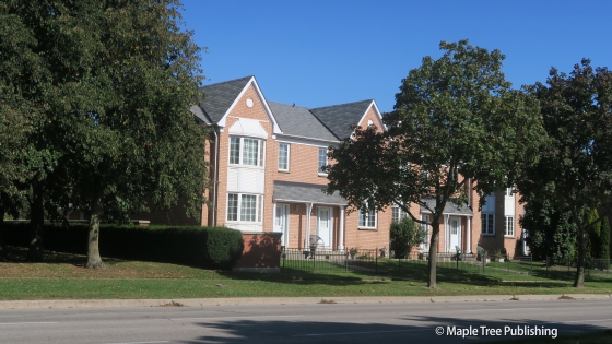
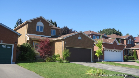
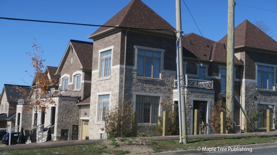
The south part of Pringle Creek consists of Colonial and Tudor Revival houses with garages out front. There are also a large number of townhomes. North of Rossland the houses are newer and larger and consist of stylish detached homes and townhomes.
Pringle Creek Stats
Walkability:
Medium
Bikeability:
High
Public Transit:
Medium
Affordability:
Medium
Greenspace:
High
Medium
Legend: Low, Medium, High
Commute Times
* All commuting times provided are approximate times only. Commute times may increase or decrease depending on where you live within the neighbourhood and the time of day i.e rush hour versus off hour commutes. Time estimates to public transit are based on walking distance or bus line connection whichever is quicker. All other commute times on the chart above are based on drive times.
