Vanier
History:
The first school in this neighbourhood was named General Vanier Secondary School. This school and subsequently this neighbourhood are named after Georges Vanier, who was a highly respected Canadian soldier and diplomat. prior to serving as Governor General of Canada. from 1959-1967.
Overview:
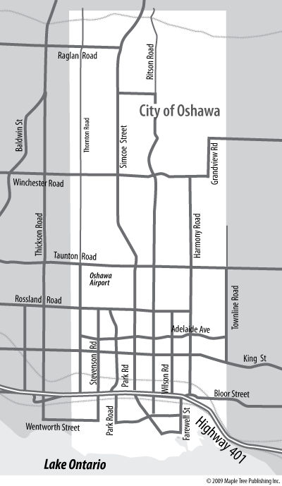
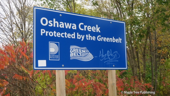
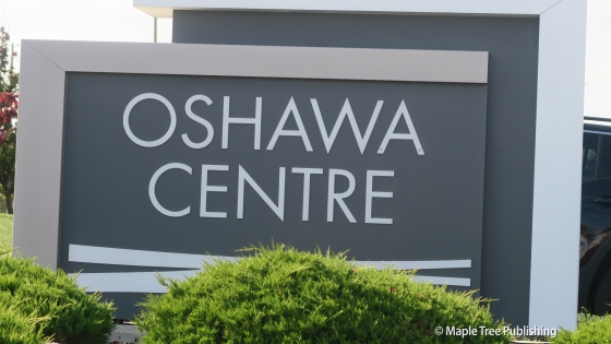
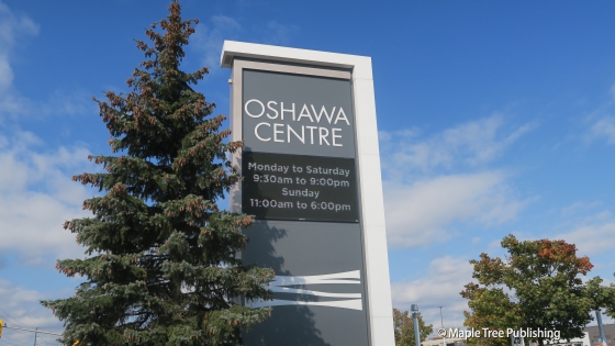
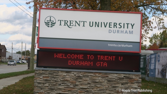
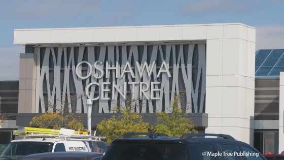
Vanier is a residential neighbourhood bordered by Highway 401 to the south, Oshawa Creek parkland to the east, the Oshawa-Ajax town line to the west and King Street to the north. Neighbourhood landmarks include: Oshawa Centre, the Oshawa Civic Auditorium Complex, and Trent University Oshawa. This neighbourhood appeals to families as it is has affordable housing options, four schools and a university, and a plethora of shopping and recreational amenities. It is also well served by public transit, close to downtown Oshawa and provides easy access to Highway 401 for commuters.
Lifestyle:
Oshawa Centre located at 419 King Street West is Oshawa’s largest shopping centre featuring over 200 shops and restaurants. The Oshawa Centre is also the site of a popular Farmers’ Market that is is associated with Durham Farm Fresh and offers a vast array of fresh fruits and vegetables as well as fresh cut flowers and baked goods.
Homes:
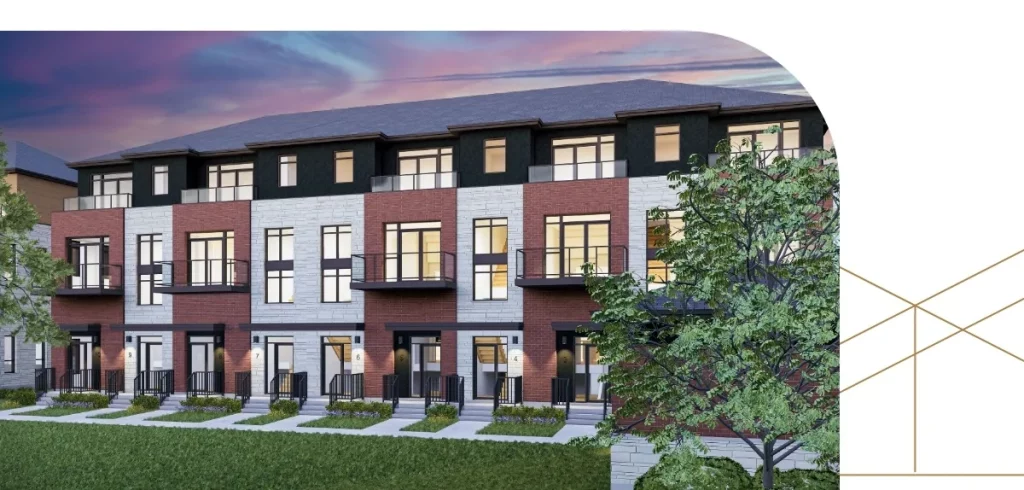
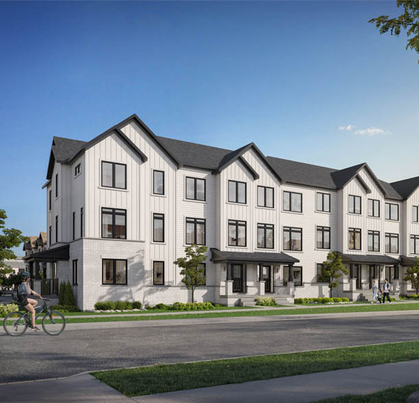
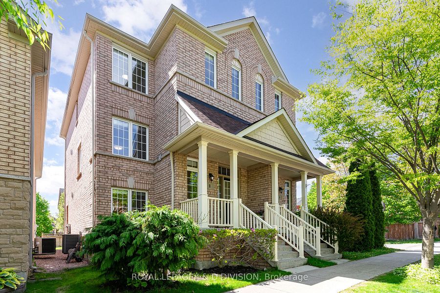
Vanier has a variety of housing styles typical of the mid to late 1900s including post war bungalows, ranch-style bungalows and tudor and colonial revival style two-storey homes.The lots are fairly spacious with most houses having a private driveway and a garage or carport.
Recreation:
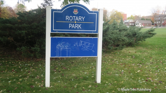
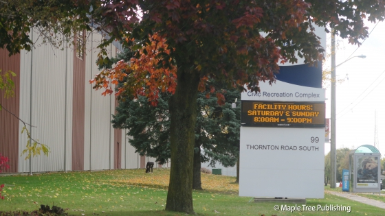
The Civic Recreation Complex located at 99 Thornton Road S., is Oshawa’s largest multi-purpose recreational facility. This recreational hub features 5 outdoor fields (2 with artificial turf), a full-size indoor fieldhouse, indoor and outdoor tracks, swimming pool, fitness centre, indoor tennis and squash courts and an outdoor playground. Green corridors bookend the Vanier neighbourhood providing additional outdoor recreational opportunities.
Featured Listings
Vanier Stats
Walkability:
Medium
Bikeability:
Low
Public Transit:
Medium
Affordability:
Medium
Greenspace:
High
Recreation:
High
Legend: Low, Medium, High
Commute Times
* All commuting times provided are approximate times only. Commute times may increase or decrease depending on where you live within the neighbourhood and the time of day i.e rush hour versus off hour commutes. Time estimates to public transit are based on walking distance or bus line connection whichever is quicker. All other commute times on the chart above are based on drive times.
