Donevan
History:
The Donevan neighbourhood is named after Dr. Frederick James. Donevan a respected physician who had a successful medical practice in Oshawa during the 1920s and 30s. Donevan was also a respected member of the Oshawa Board of Education serving as Chairman of the Board in 1931 and 1932. The former Donevan Collegiate, built in the 1950s was named in his honour. This school was decommissioned in 2016 due to declined enrollment.
Overview:
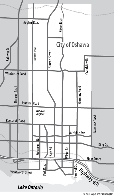
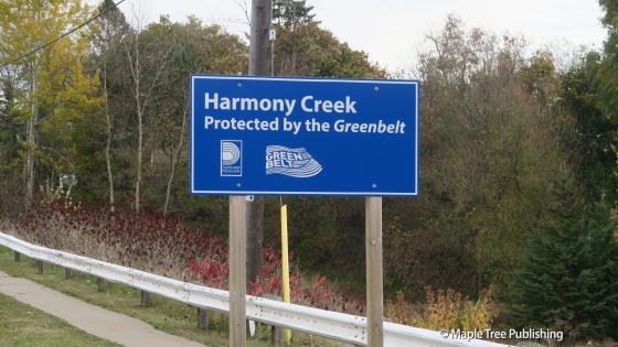
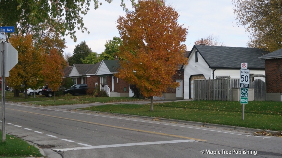
Donevan is a low density, quiet suburban neighbourhood located in the southeast part of Oshawa. Donevan shares its borders with Downtown Oshawa to the west, the town of Clarington to the east, Highway 401 to the south and King Street East to the north. Harmony Creek runs north to south through the centre of the neighbourhood providing a green corridor with numerous parks and recreational opportunities. The topography is quite hilly. This is most pronounced where Grandview Street meets up with Olive Avenue.
Lifestyle:
Downtown Oshawa is just 5 minutes away and features dozens of shops, restaurants and professional services.
Homes:
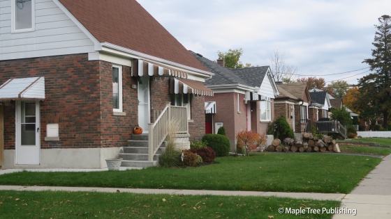
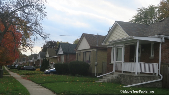
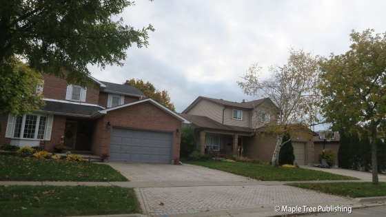
Donevan houses are spaced well apart on generous size lots. The housing stock here dates from the 1950s all the way up to the present and includes: ranch-style bungalows, split-level homes, colonial revival detached two-storey homes and some larger infill homes that are situated mostly on the eastern edges of the neighbourhood.
Recreation:
Harmony Creek Golf Centre is a public 18 hole course that features features ponds, creeks, bridges, mature trees, sandtraps and a putting green. There is also a restaurant, bar and banquet facility.
Arts:
Arts Resource Centre is just 10 minutes from here located at 45 Queen Street in downtown Oshawa. This is the arts hub for the City of Oshawa.
Donevan Stats
Walkability:
Low
Bikeability:
Medium
Affordability:
Medium
Greenspace:
High
Recreation:
Low
Legend: Low, Medium, High
Commute Times
* All commuting times provided are approximate times only. Commute times may increase or decrease depending on where you live within the neighbourhood and the time of day i.e rush hour versus off hour commutes. Time estimates to public transit are based on walking distance or bus line connection whichever is quicker. All other commute times on the chart above are based on drive times.
